
Add survey and aerial maps
The SiteHive Dashboard Map lets you enhance your site view with high-resolution aerial imagery and survey maps. You can:
Integrate with Propeller Aero for up-to-date drone survey maps.
Use MetroMap and Nearmap for high-quality aerial imagery.
These integrations give you better visual context, making it easier to manage and report on your monitoring data.
You can also overlay KML files: see Add a KML Map.
Quick search
How to add your MetroMap or Nearmap
How to add Propeller Aero
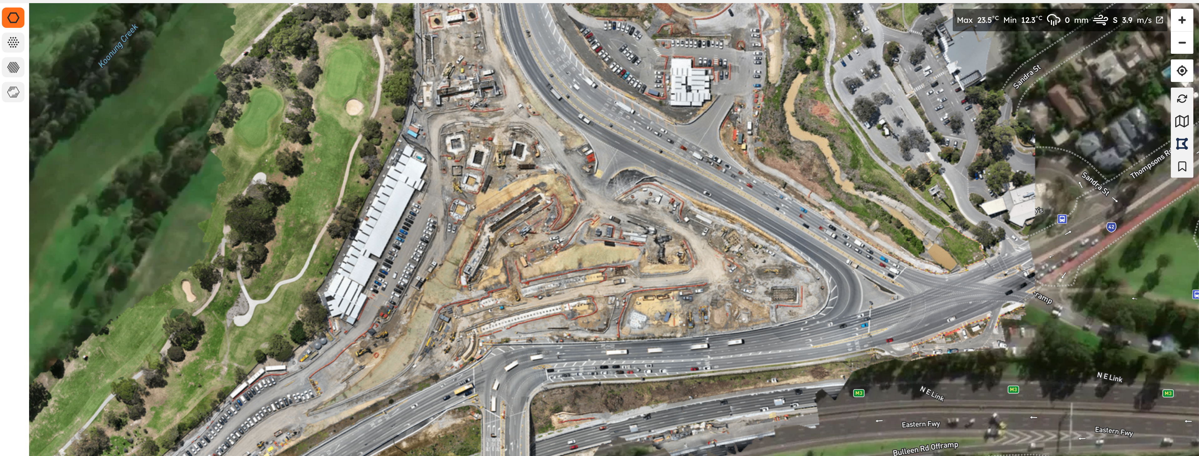
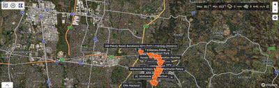
Your latest drone survey becomes the basemap under your monitoring points, so your data sits on current site conditions rather than outdated satellite imagery.
Before you start
Get your WMTS unique link from Propeller Aero (see their guide: How to use Web Map Tile Service (WMTS)). It will look something like:
https://webmap.services.propelleraero.com/wmts/site/..........
Make sure to copy the entire URL provided by Propeller Aero.
Add it to SiteHive
Go to Settings > Site Details.
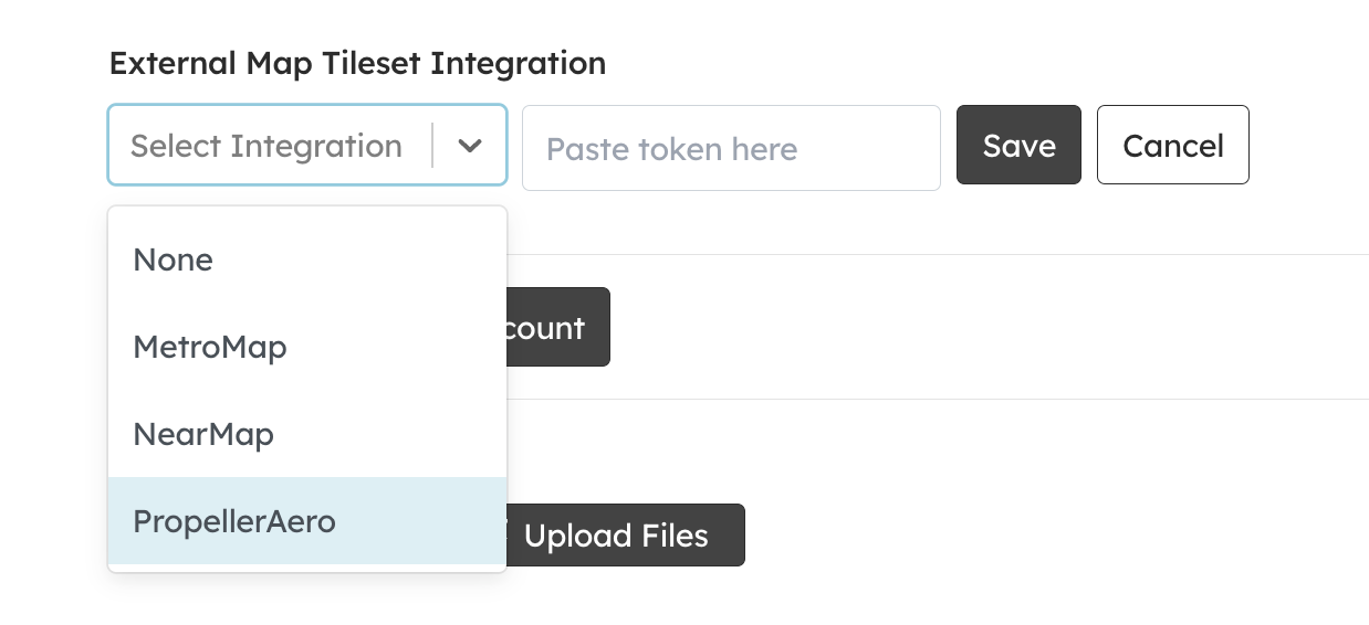
Scroll down to External Map Tileset Integration.
Click Edit and select Propeller Aero from the dropdown menu.
Paste your WMTS unique link into the field.
Save your changes. Your Propeller Aero map will now be live on your SiteHive dashboard.
How to add your MetroMap or Nearmap
Before you start, you'll need an API token for your MetroMap or Nearmap subscription. Your account manager for that service can provide this.
Log in to SiteHive Enviro
Navigate to the top menu bar and go to Settings
Click Site Details on the second menu bar below your site name
Scroll down to External Map Tileset Integration and click Edit
Select your External Map Tileset Integration
Paste or type in your API token
Click Save
Once saved, your selected service will appear as an option in all maps across SiteHive Enviro

